14 Jan Classification of five most common crops in the region of Vojvodina using Random Forest algorithm
Branislav Pejak
Junior Researcher, BioSense Institute
Over the next two decades, a technological wave will revolutionize the efficiency of farms all over the world. We are in the 4.0 industrial revolution and the use of information technology becomes a necessity of daily life. Among those things, we can include the usage of satellite images. If the facts are observed from a different perspective, as in this case from a satellite, it is much easier to see and evaluate all aspects of the problems that arise in agriculture. Satellites give us wider perspective and the possibility for improvement in agriculture, which is one of the most important industries in every country. As the quote says: “Who stands on a hill, even a small one, sees more than he who stands below the hill.”, by using satellites we can get a wider perspective of what’s happening on the parcel. That is one reason why we “go into space”.[/vc_column_text]
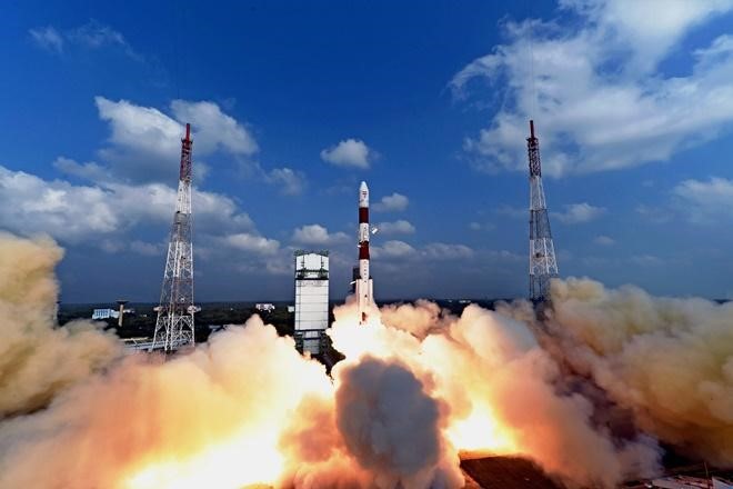
Figure 1. Launching the satellite into orbit
ESA’s Copernicus program is modern space program for Earth observation and it provides high-resolution (10 m x 10 m per pixel) satellite data every 5 days. Satellites of the Copernicus program are called Sentinel and currently, there are 6 of them observing the Earth.
Figure 2. Copernicus logo
Modern satellite sensors, such as multispectral cameras can detect changes within the plant. Sensor readings in the infrared part of the spectrum are highly affected by the interior leaf structure, whereas the microwave part of spectrum is highly affected by plant water content. Big advantage of satellite images compared to other platforms, such as airplanes or drones, is that it covers a much wider area.
Sentinel-2 is designed to provide images that can be used to distinguish between different crop types as well as data on numerous plant features, such as active chlorophyll content and leaf water content, all of which are essential to accurately monitor plant growth.
Satellite technologies provide very important data for agricultural producers, as well as for government institutions. Information derived from satellite imagery can be used to develop better agricultural production, post-harvest zone management, logistics strategies, price forecasting, storage planning, import/export strategies, etc. Fusion of satellite imagery and remote sensing with machine learning methods based on artificial intelligence can facilitate crop classification of large agricultural areas which is an important information for policy makers. The machine learning algorithm brings conclusions using a large amount of input data which a human would not be able to perceive.
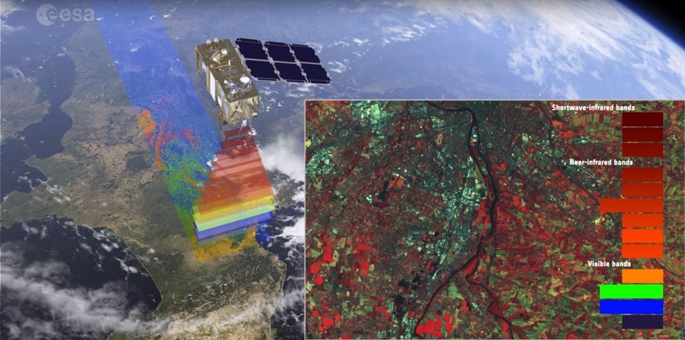
Figure 3. Sentinel-2 satellite observes the Earth’s surface
Modern techniques for image processing and data analysis, with promising results and large potential, include machine learning such as Random Forest algorithm. This algorithm has been successfully applied for crop classification in Vojvodina. Researchers at BioSense Institute continue to develop, optimize and improve algorithms in order to achieve even better results in precision agriculture.
For the classifier training purpose ground truth was collected through the conducted data collection campaign, which consisted of information about the location and crop type for over 1500 parcels. Using a fusion of Random Forest algorithm and satellite imagery we made a pixel-based classifiers with very high performance. The preprocessing of satellite images included atmospheric correction and cloud-free image selection. Sentinel images from the same path but at different points in time (parts of the same time series) were considered as independent sources of information.
Previous research at the BioSense Institute, which involved crop classification using optical satellite images gave overall accuracy of 90% for the classification of 5 most common crops in the region of Vojvodina. These are: maize, wheat, soybeans, sugar beet and sunflower, which represented labels for classification.
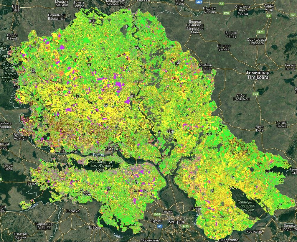
Figure 4. Crop classification map in the region of Vojvodina (brown-soybean, yellow-maize, orange-sunflower, green-wheat, purple-sugar beet)